Home | Gallery | AboutUs | Software | Rates ![]()
![]()
![]()
We go to great lengths to capture accurate digital information in the form of raster maps, digital elevation models, land use and land cover data and more. We really excel when it comes time to present this data to a client (or even a judge, jury, customer or investor). We endeavor to enlighten the viewer and impart a fundamental understanding of what would otherwise be a complex scientific or mathematical concept. To download a full brochure about our capabilities, including fees and other information, click here.
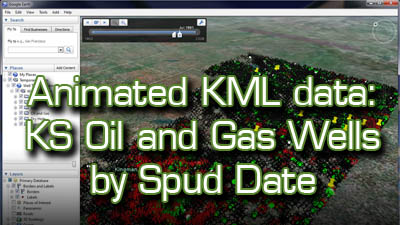
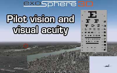
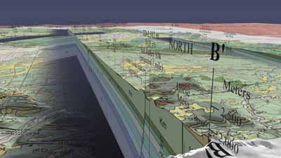
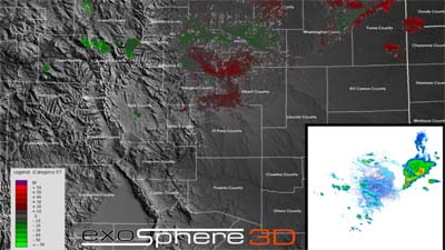
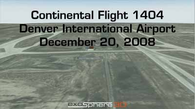
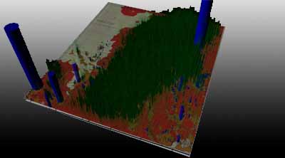
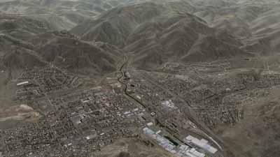
Each thumbnail gallery image below will link you to an individual project page, where you can view animations and/or still images.
Copyright 2008-2011 Exosphere3D.com