 Copyright 2010 Exosphere3D.com
Home | Gallery | AboutUs | Software | Rates
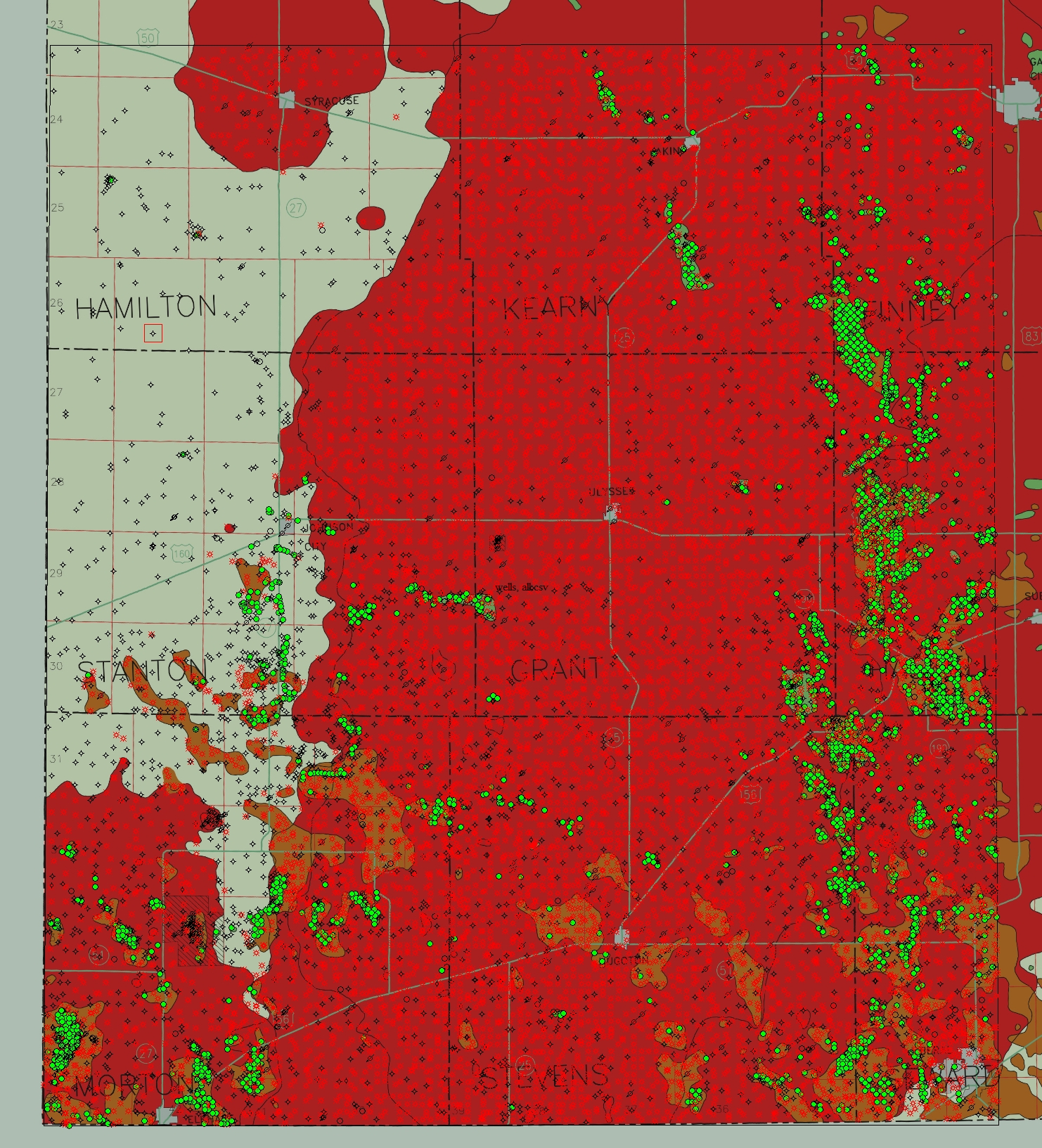
This short animation depicts the cumulative oil (blue cylinders) and gas (green cylinders) production in Southwest Kansas. A reference map illustrates the named oil and gas fields in Kansas as well as the aeromagnetic gravity measurements of the area. Thematic mapping allows for an in-depth look at complex and varied data sets when 2-Dimensional viewing will otherwise fail. By adjusting the size of thematic "cylinder" at each of over 14,000 well sites in this area, we can depict the relative production quantities of each. Data of this type can also be animated over time to illustrate the growth of a field as the resorvoir is expanded and depleted over time.
If you would like to download a higher resolution movie file, you'll find it in the oil and gas visualization movie folder.